Who We Are
North Florida Drone Services captures precise aerial data tailored for construction and agriculture, providing valuable insights that enhance project planning, increase efficiency, and ensure that all operations run smoothly. Our advanced drone technology allows for real-time data collection, high-resolution imagery, and comprehensive reporting, enabling our clients to make informed decisions and optimize their workflows.
Our Promise
We deliver detailed imagery and data that help you track progress and make informed decisions. Our comprehensive analytics tools are designed to provide you with insights that not only enhance your understanding but also enable you to predict future trends. With our innovative solutions, you will be equipped to respond proactively to changes and maximize your outcomes.
Our Services
Precision drone imagery tailored to your site needs.
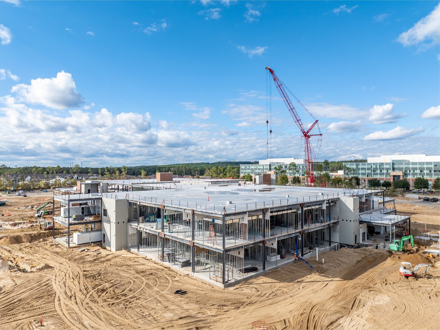
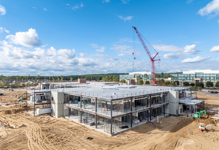
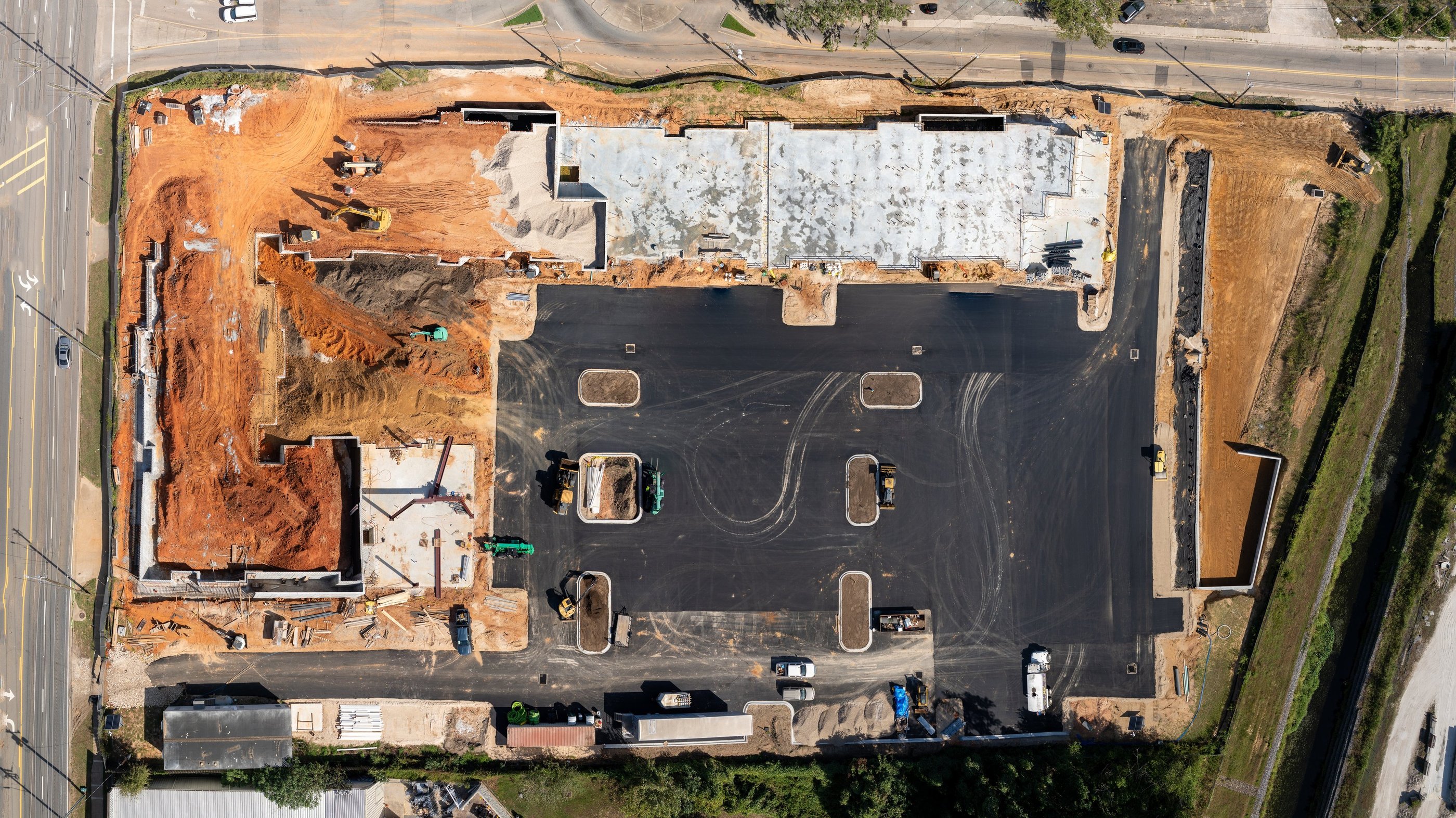
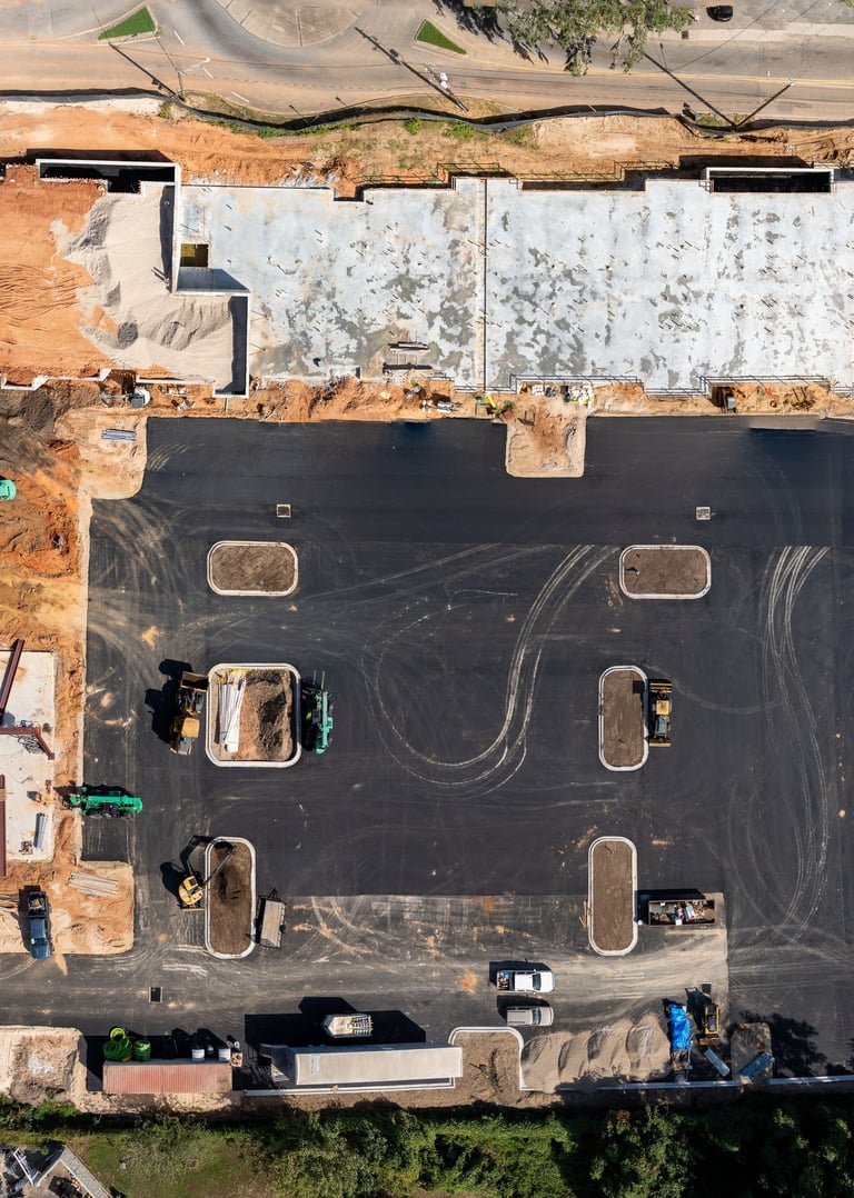
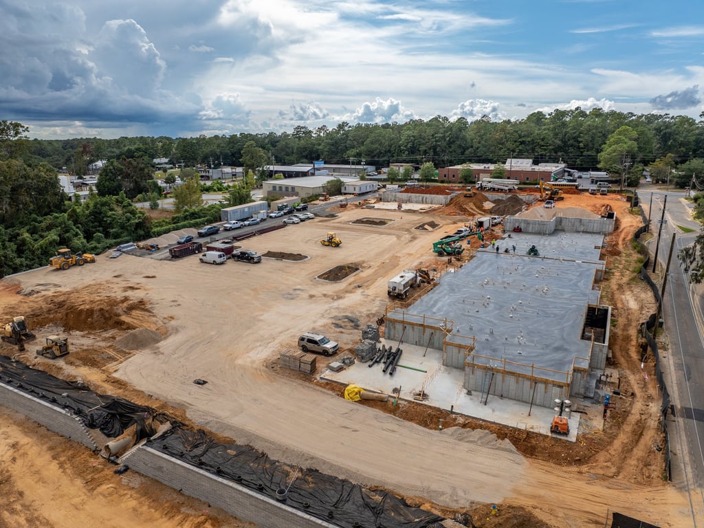
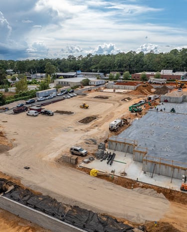
Construction
Aerial documentation provides clear visibility into site conditions, grading, and project milestones, helping teams track progress, verify work, and communicate effectively with stakeholders. Pre-construction inspections identify potential issues early, improving planning, safety, and overall project efficiency.
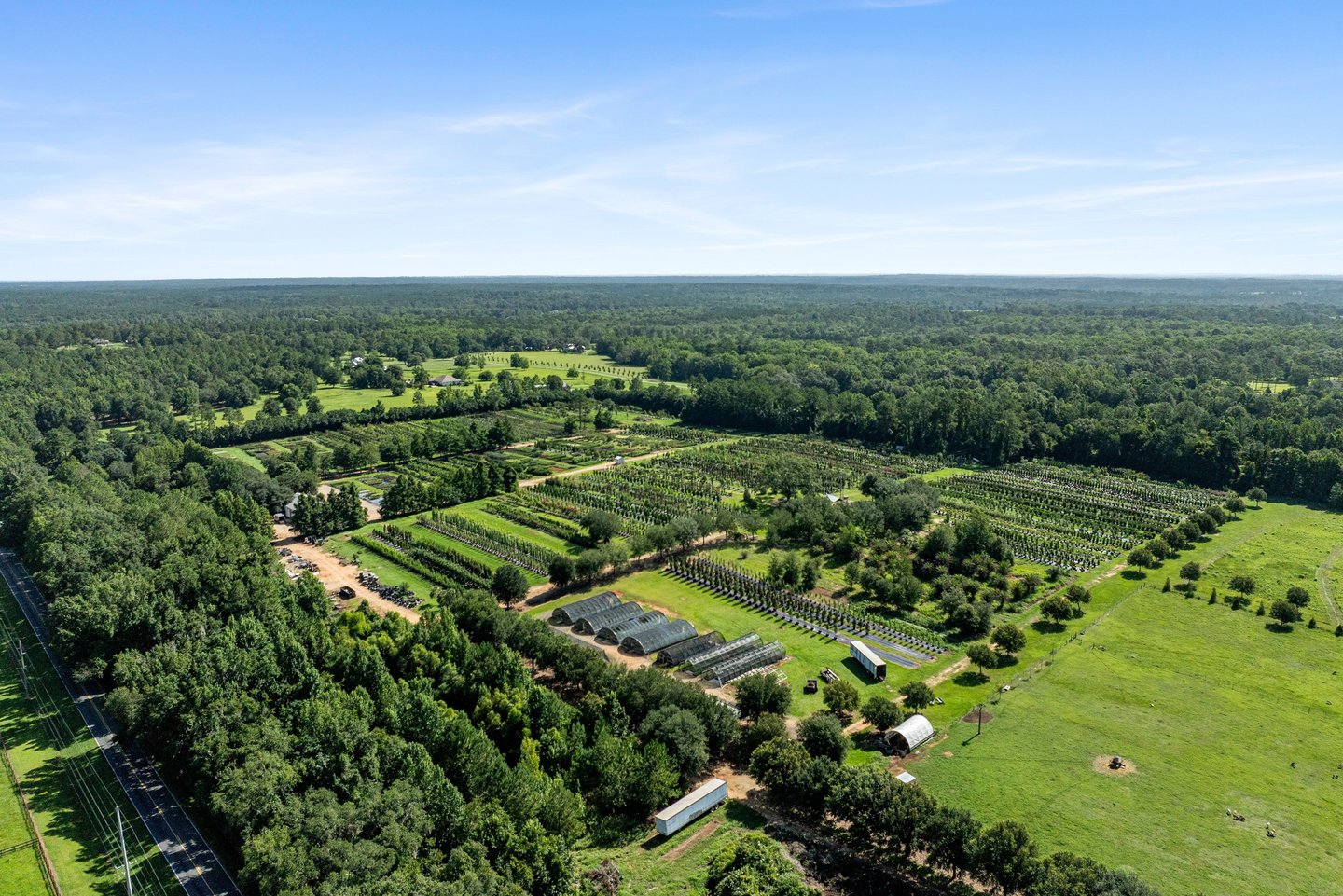
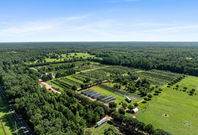
Agriculture
Get a clear, bird’s-eye view of your crops to spot stress, uneven emergence, drainage problems, and pest or nutrient issues early—before they impact yield. Drone inspections cover large acreage quickly, saving time and labor while giving you actionable insights to improve crop performance and protect your investment.
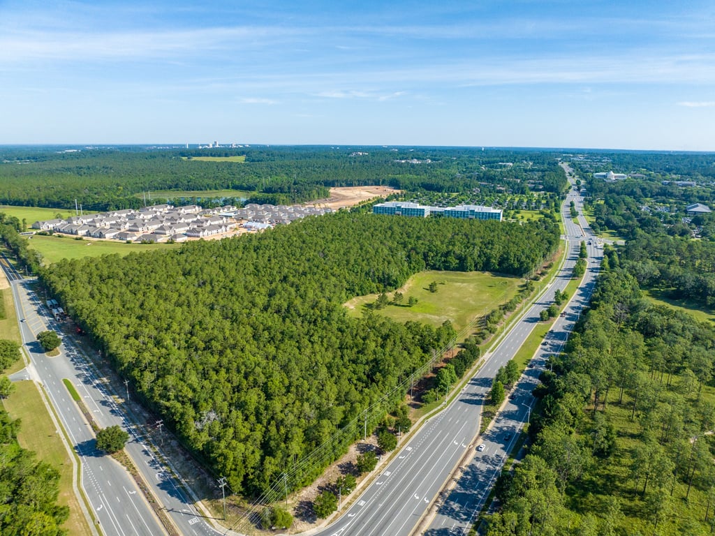
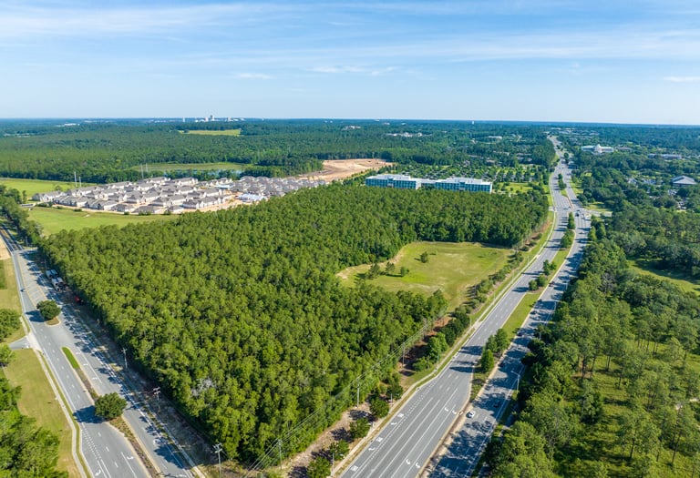
Real Estate
Drone imagery captures the full scope of a property—including surrounding land, views, access points, and neighborhood context—to tell a more complete story. These elevated visuals help listings stand out online, attract more qualified buyers, and create a strong, professional first impression.
Stay Updated
Get the latest drone insights and offers
Contact
Reach out for tailored drone solutions.
Phone
(850) 264-6111
© 2025. All rights reserved.